Road Atlas for the Total Solar Eclipse of 2017
By Fred Espenak

Description
On Monday, 2017 August 21, a total eclipse of the Sun will be visible from the contiguous United States for the first time since 1979. The track of the Moon's umbral shadow begins in the Pacific Ocean and crosses the USA from west to east through Oregon, Idaho, Wyoming, Nebraska, Kansas, Missouri, Illinois, Kentucky, Tennessee, Georgia, North Carolina, and South Carolina. Inside the 70-mile-wide path of totality, the Moon will completely cover the Sun as the landscape is plunged into an eerie twilight, and the Sun's glorious corona is revealed for nearly 3 minutes. Outside the narrow shadow track, a partial eclipse will be visible from all of North America.
Road Atlas for the Total Solar Eclipse of 2017 contains a comprehensive series of 37 detailed maps of the path of totality across the USA. The large scale (1:700,000 or 1 inch = 11 miles) shows both major and minor roads, towns and cities, rivers, parks, and mountains. The map below is an example from the Road Atlas covering western Oregon.
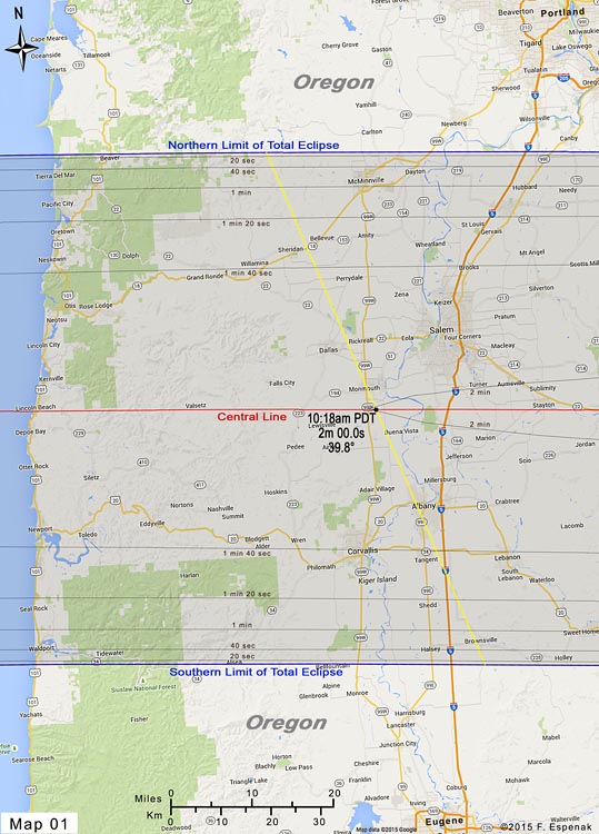
Map of Western Oregon (click to enlarge) |
The path of totality on each map is depicted as a lightly shaded region with the northern and southern limits clearly identified. The total eclipse can be seen only inside this path. The closer one gets to the central line of the path, the longer the total eclipse lasts. Gray lines inside the path mark the duration of the total eclipse in 20 second steps. This makes it easy to estimate the duration of totality from any location in the eclipse path.
Yellow lines running across the path at 2-minute intervals indicate the local time of mid-eclipse. Where they cross the central line (plotted in red) the local time, central line duration of totality and the Sun's altitude are labeled. This eliminates the need to look these details up on a table.
Armed with this atlas and the latest weather forecasts, the road warrior is ready to chase totality no matter where it takes him/her along the 2500-mile-long path. This mobile strategy offers the highest probability of witnessing the spectacular 2017 total eclipse in clear skies.

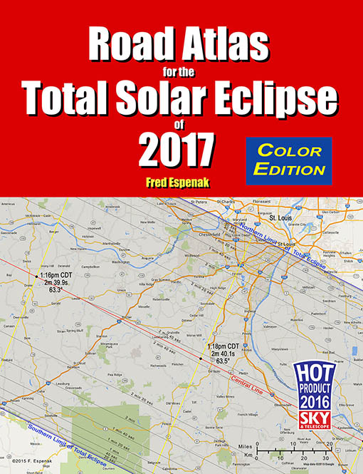
Road Atlas for the Total Solar Eclipse of 2017 has been recognized by Sky and Telescope magazine as one of the Hot Products for 2016.
Order:
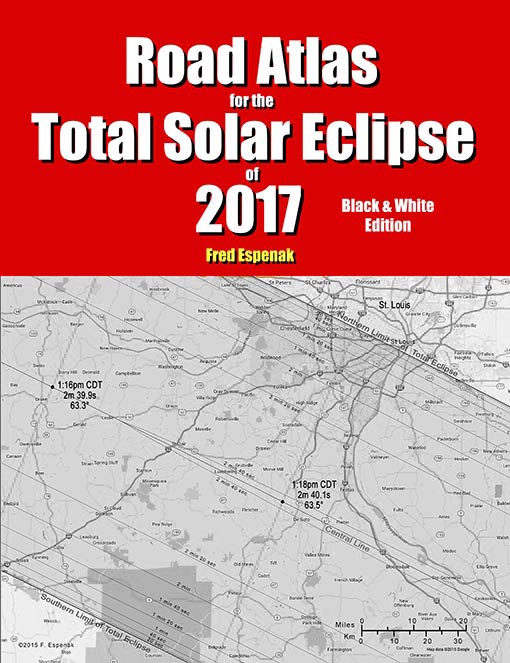
- Road Atlas for the Total Solar Eclipse of 2017 (Black & White Edition)
- Road Atlas for the Total Solar Eclipse of 2017 (Color Edition)
- Road Atlas for the Total Solar Eclipse of 2017 (Digital Edition) - PDF for computers & mobile devices
About the Author
Click the following link to read a brief biography on Fred Espenak.
- Page from Detailed Eclipse Maps
Road Atlas for the Total Solar Eclipse of 2017 - Sample page:
Also Available!
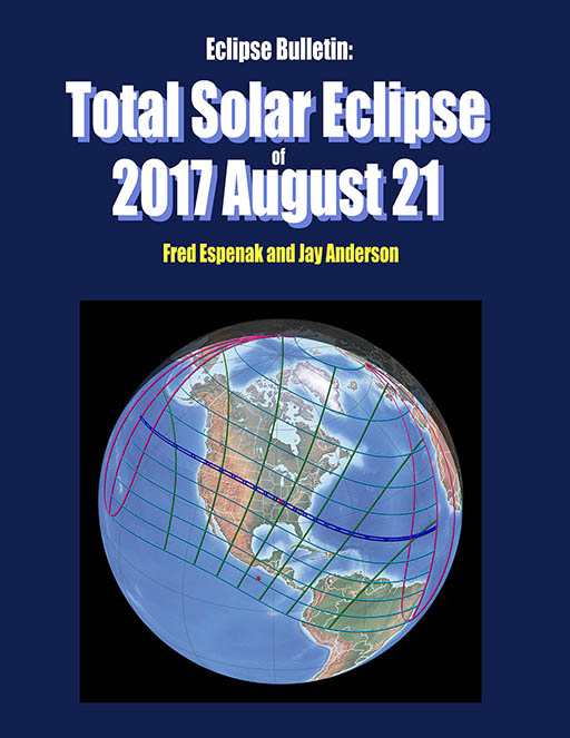
Eclipse Bulletin: Total Solar Eclipse of 2017 August 21
The Eclipse Bulletin: Total Solar Eclipse of 2017 August 21 is the complementary publication of the 2017 Road Atlas and is the ultimate guide to this highly anticipated event.
Local circumstances tables for more than 1000 cities across the USA provide times of each phase of the eclipse along with the eclipse magnitude, duration and Sun's altitude. Additional tables cover the eclipse circumstances for cities in Canada, Mexico, Central and South America and Europe. An exhaustive climatological study identifies areas along the eclipse path where the highest probability of favorable weather may be found. A travelogue highlights key locations in the eclipse track from Oregon through South Carolina.
Finally, comprehensive information is presented about solar filters and how to safely observe and photograph the eclipse.
For more information visit Eclipse Bulletin: Total Solar Eclipse of 2017 August 21.

Total Eclipse or Bust! A Family Road Trip
TOTAL Eclipse or Bust! A Family Road Trip is a book for the entire family. The story follows a typical family on a road trip to see the 2017 total eclipse of the Sun. Along the way the children learn all about the how and why of eclipses in a friendly and an uncomplicated way. The book also provides basic information about how to view a total solar eclipse and where to go for America's great eclipse on August 21, 2017.
Finally, comprehensive information is presented about solar filters and how to safely observe and photograph the eclipse.
For more information visit Total Eclipse or Bust! A Family Road Trip.
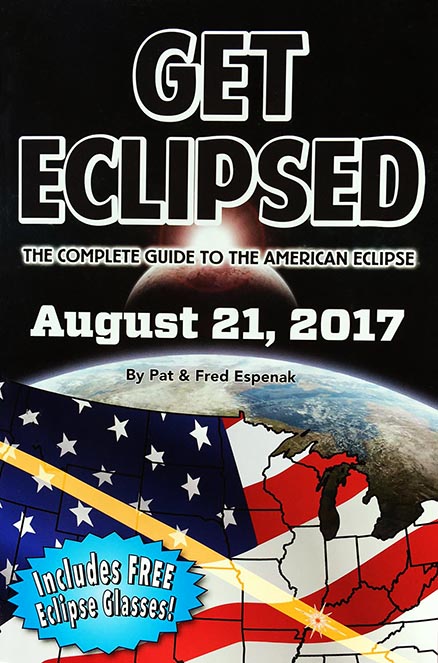
Get Eclipsed: The Complete Guide to the American Eclipse
Get Eclipsed is an easy to read, family friendly, inexpensive 2017 eclipse guide for everyone, especially if the total eclipse of the Sun on August 21, 2017 will be your first one.
Get Eclipsed features:
- How and Why Solar Eclipses Happen
- Science and History of Solar Eclipses
- Fun Facts for the Entire Family
- Helpful Hints for Safe Viewing
- Illuminating Maps and Diagrams
- Eclipse times for over a hundred cities
- Two (2) pairs of Solar Eclipse Glasses
For more information visit Get Eclipsed: The Complete Guide to the American Eclipse.
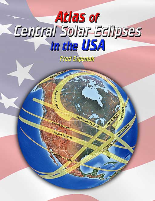
Atlas of Central Solar Eclipses in the USA
The Atlas of Central Solar Eclipses in the USA contains of a series of 499 global maps showing the geographic track of every total and annular solar eclipse across the USA (including Alaska and Hawaii) during the two-thousand-year period 1001 through 3000. It is accompanied by a catalog that lists the major characteristics of each eclipse including its duration and whether it is visible from the lower 48 states, Alaska and/or Hawaii.
A set of 20 detailed maps, each covering a 50-year period and centered on the lower 48 states, shows the path of every total and annular eclipse. The maps include state boundaries and major cities. These maps also cover southern Canada and northern Mexico.
For more information visit Atlas of Central Solar Eclipses in the USA.